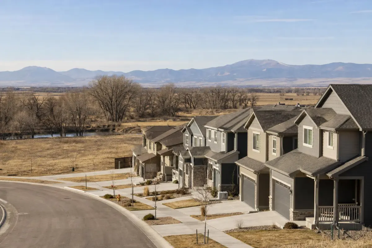
Fountain Valley, south of Colorado Springs
Foundation Repair in Fountain, CO
Water in the basement, a cracked wall or a slab that dropped? Call or send a request to be connected with an independent foundation repair contractor who serves Fountain.
Fountain Valley, south of Colorado Springs
Water in the basement, a cracked wall or a slab that dropped? Call or send a request to be connected with an independent foundation repair contractor who serves Fountain.
Fountain sits about 12 miles south of Colorado Springs along I-25, just east of Fort Carson, at about 5,558 feet, where Fountain Creek runs south toward the Arkansas River. If you have found cracks in a basement wall, water in a window well or a slab that has dropped, call or send a short request. Colorado Springs Foundation Repair Help is an independent referral service, not a foundation repair company. We pass your request to an independent third-party foundation repair contractor that works in the Fountain area and decides its own pricing, timing, warranty and terms. There is no charge for the referral, and coverage depends on your address. Callbacks and on-site availability vary.
The City of Fountain traces its founding to 1859 and its incorporation to 1903. The creek confluence was a Ute winter camp, and the French name for the creek meant "bubbling springs." The city is growing quickly. The latest five-year estimate on Census Reporter shows about 29,300 residents, 10,984 housing units and a median owner-occupied home value of $398,000, and the city's 2023 housing development map shows thousands of planned homes in Mesa Ridge (2,114 units), Almagre (1,866), Singer Ranch (1,200) and Kane Ranch (7,137).
Fountain Creek shapes this city. A flood insurance study for the City of Fountain dated December 5, 1984 (state water board archive) covers Fountain Creek and Jimmy Camp Creek and notes that Fountain Creek drains about 917 square miles above its meeting with the Arkansas. During the September 2013 storms, the U.S. Geological Survey measured a peak of 15,300 cubic feet per second at Fountain Creek near Fountain, the highest streamflow recorded in the Fountain Creek basin during that event and the third highest peak there in 46 years. On May 9, 2015, NWS Pueblo's storm records logged a flash flood east-southeast of Fountain, where heavy rain flooded roadways and low spots.
The city's comprehensive plan, adopted in 2005, recalls flooding along both Fountain Creek and Jimmy Camp Creek in 1999, sets a policy against development in the 100-year floodplain of those creeks, and commits the city to keep reviewing engineering reports on geologic hazards and soil limitations. That plan also said the FEMA floodplain mapping of its day was outdated in places. Maps get revised, so look up the current flood map for your address rather than relying on an old one. El Paso County also lists a 2025 Jimmy Camp Creek drainage basin study.
Under the creek valley, the ground behaves differently from the uplands. A 2024 USGS report on the Fountain Creek alluvial aquifer describes creek sand and gravel up to about 100 feet thick with "a shallow groundwater table," resting on the Pierre Shale, a relatively impermeable bedrock that "prevents the downward movement of groundwater." That aquifer has supplied Fountain, Security, Widefield and Stratmoor Hills since the 1960s, and the city plan places its wells along the Fountain Creek alluvium. The report does not map every neighborhood, and not every Fountain home sits on the valley floor. Where a house does, water can stay close to the surface, which is worth knowing if a basement takes on water after storms or a slab shows new cracks.
Away from the creek, the statewide picture still applies. The Colorado Geological Survey says clay-rich soils and bedrock that swell underlie many populated areas of Colorado and are more common on the plains than in the mountains.
With Fort Carson next door, many Fountain households rent or move often. Renters should report cracks, leaks or doors that suddenly bind to the landlord or property manager in writing and let the owner arrange any repair. Buyers of a brand-new home have a state protection: C.R.S. 6-6.5-101 requires builders to give new-home buyers a summary of the soils analysis at least 14 days before closing, plus a publication on expansive soils where they are a significant potential problem. Keep that paperwork, since a contractor or engineer looking at the house later will want to see it.
Fountain is a member jurisdiction of the Pikes Peak Regional Building Department. PPRBD's disaster guidance says flood or water damage usually needs no permit unless the structure or foundation is damaged. When you hire the work out, a PPRBD-licensed contractor pulls any permit, and PPRBD's homeowner permit page says it is illegal for a homeowner to obtain a permit for a contractor hired to do the work.
Requests from Fountain often involve basement seepage after heavy rain, sump and drainage questions in homes near the creek, cracked slabs and walls, settling porches and walks, and questions from buyers of homes in newer subdivisions.
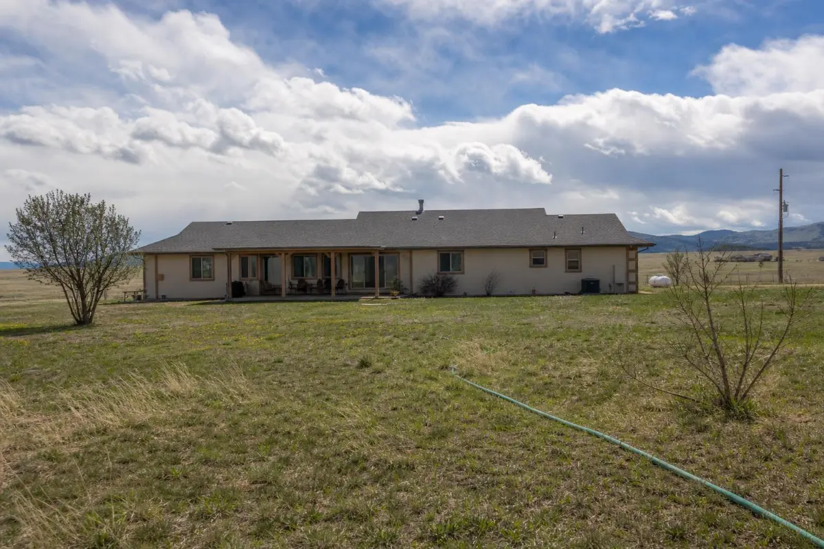
No charge to be connected with an independent foundation repair contractor who serves Fountain.
Tell the contractor if your home is near Fountain Creek or Jimmy Camp Creek.
Fountain is a PPRBD member; look the contractor up before you sign.
In places. USGS describes a shallow water table in the Fountain Creek alluvial aquifer, which rests on Pierre Shale. Homes on the creek valley floor are the most likely to be affected; homes on higher ground may not be.
The Pikes Peak Regional Building Department. Fountain is a member jurisdiction. PPRBD says water damage usually needs no permit unless there is structural or foundation damage, and a hired contractor must pull any permit.
Colorado law requires builders to give new-home buyers a summary of the soils analysis at least 14 days before closing, and a publication on expansive soils where they are a significant potential problem. Keep it with your closing documents.
Report the problem to your landlord or property manager first, in writing. The contractor will need the owner's permission, and the owner normally arranges structural repairs.
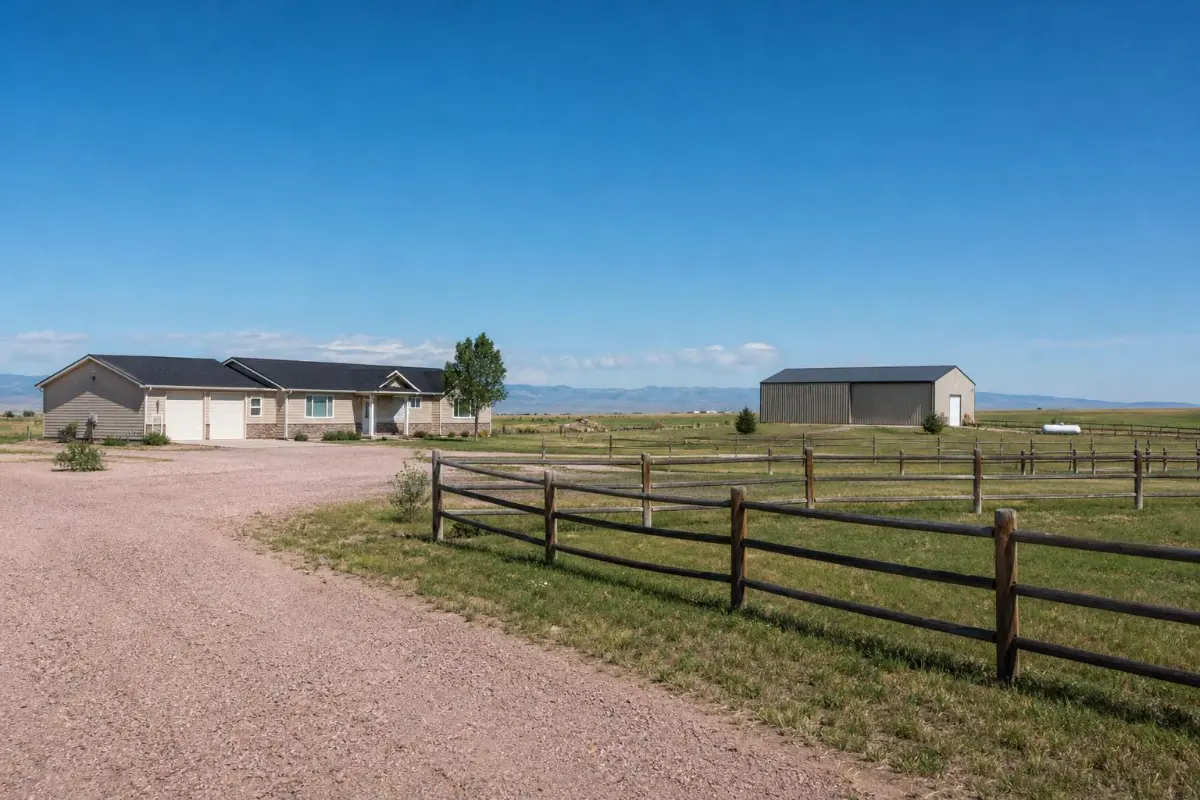
Fountain homeowners: call or send a request to be connected with an independent foundation repair contractor.
Free — no obligations